More about my trip to Grenada. Probably you’re tired of this, or thought I wouldn’t have anything more to say. This post is mostly photos but also about a man I met named Dredd, who shares my passion for the history of the place, the sad disrepair of graveyards, various animal encounters — just what happens when you wander around Carriacou on your feet.
Day 8. September 20. I was staying at John’s Unique Resort at the edge of Hillsborough on Carriacou (I recommend it). My plan was to walk across the island to the old Dumfries Estate avoiding the main roads (ie Brunswick Road up from Hillsborough to the Six Roads intersection). Carriacou has a central spine of hills rising from Tyrell1 Bay to Chapeau Carre, then Top Hill all the way to High North before dropping back down to the ocean at Petit Carenage. I walked up toward Top Hill, quickly leaving the houses and paved streets behind, then angling south toward (inevitably) Six Roads, since that was where I would pick up the Dumfries Road.
As you’re crossing the ridge line you get amazing views of Paradise Beach and the mangroves of L’Esterre on the Hillsborough side and Saline Island on the Dumfries shore with Chapeau Carre rising in front.
It was about 90F, sun beating down, excellent hiking weather for camels. What was important for me was being in the landscape, getting a subjective feel for the land, weather, sea, and sky. It was important to walk as much as I could, talking to people (and donkeys and dogs) along the way, not to miss a thing speeding by in a car. The heat is brutal, but you quickly learn the relief of finding the ocean breezes or a spot of shade under a tree. In a place where everyone sweats all the time, you don’t notice body odour. The first time I got on a crowded bus I was shocked; it smelled like nutmeg. There is something green and beautiful everywhere you look, and always, out there beyond, the sea, the horizon, clouds blowing up in the distance over other lands.
At Six Roads corner I took the Dumfries Road, which drops down to the ocean and then leads along the coast to Sabazan and beyond. But just there, not far from the intersection, I found Dreddz Empire Bar and Grill (used to be Dreddz Empire Bar and Garage, and it looks as if there is still a garage attached), a most welcoming oasis with no other customers.
I really liked the homophonic substitution sequence — dreads, Dredd’s, and Dreddz. In Grenada, nicknames seem important. You see them inscribed even on gravestones. Something of historical significance there. Many oral cultures have parallel naming schemes. A person might have an official name or a sacred — even secret — name but in day to day life go by a nickname that might reflect some special character trait or life event. Most enslaved Africans were given slave names by their owners; you can just imagine how in private they found opportunities to name themselves in ways that fit their sense of personal identity. Even after emancipation, it took a generation, perhaps more, for them to adopt surnames, and this was often so that they could get married or appear correctly on a baptismal certificate. All these officially acquired names made them ripe for parallel self-naming. So Dredd.

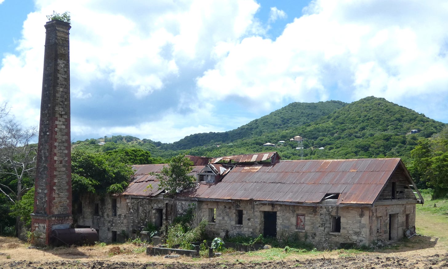
At Dreddz Empire Bar, I was already within the former plantation borders. Dumfries use to be a very large estate (by Carriacou standards), 554 acres on William Fenner’s 1784 map (see above). Once it was planted with cotton and corn, then sugar (I think), but in living memory, as happened with other Carriacou estates such as Craigston, it was converted to growing and processing limes.
Just past the bar, I was a bit surprised to come upon a vast open landfill and transfer station, dusty and tawdry with wind-blown trash. I suppose they have to dispose of the trash somewhere, and there might be something unseemly about making a fetish of preserving the ground where enslaved people once toiled, but this seemed a bit ugly to stick right next to something the island marks as a tourist attraction.
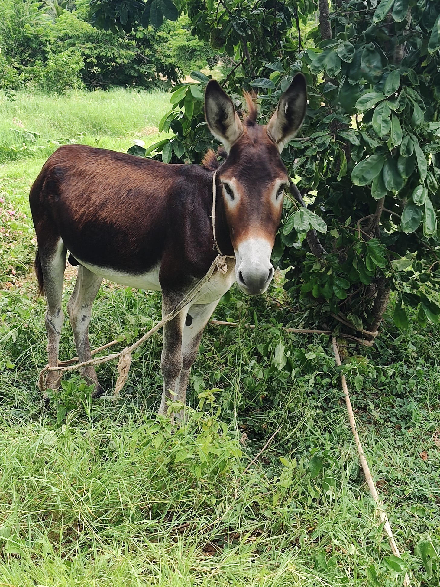
The estate ruins are in an isosceles-shaped field with a modern house in the middle and a winsome donkey tangled around a bush at the main (locked) gate.
All fenced in and closed to the public with dirt roads going around. The government closed the property about two years ago, according to Dredd (whose real name is Andy Joseph — affable, slim, mid-thirties, with dreads, of course, and an ever so slightly grizzled beard on his chin). I walked along, taking photos, hoping to find an open entrance, but there wasn’t one. I’ve seen old photos of the Great House taken in 1910 when it was already a ruined shell, two stories high. The house ruin in the field above the lime works was not that Great House, much less imposing. Dredd said there used to be a windmill made of iron, probably cut down and sold or stolen for scrap.
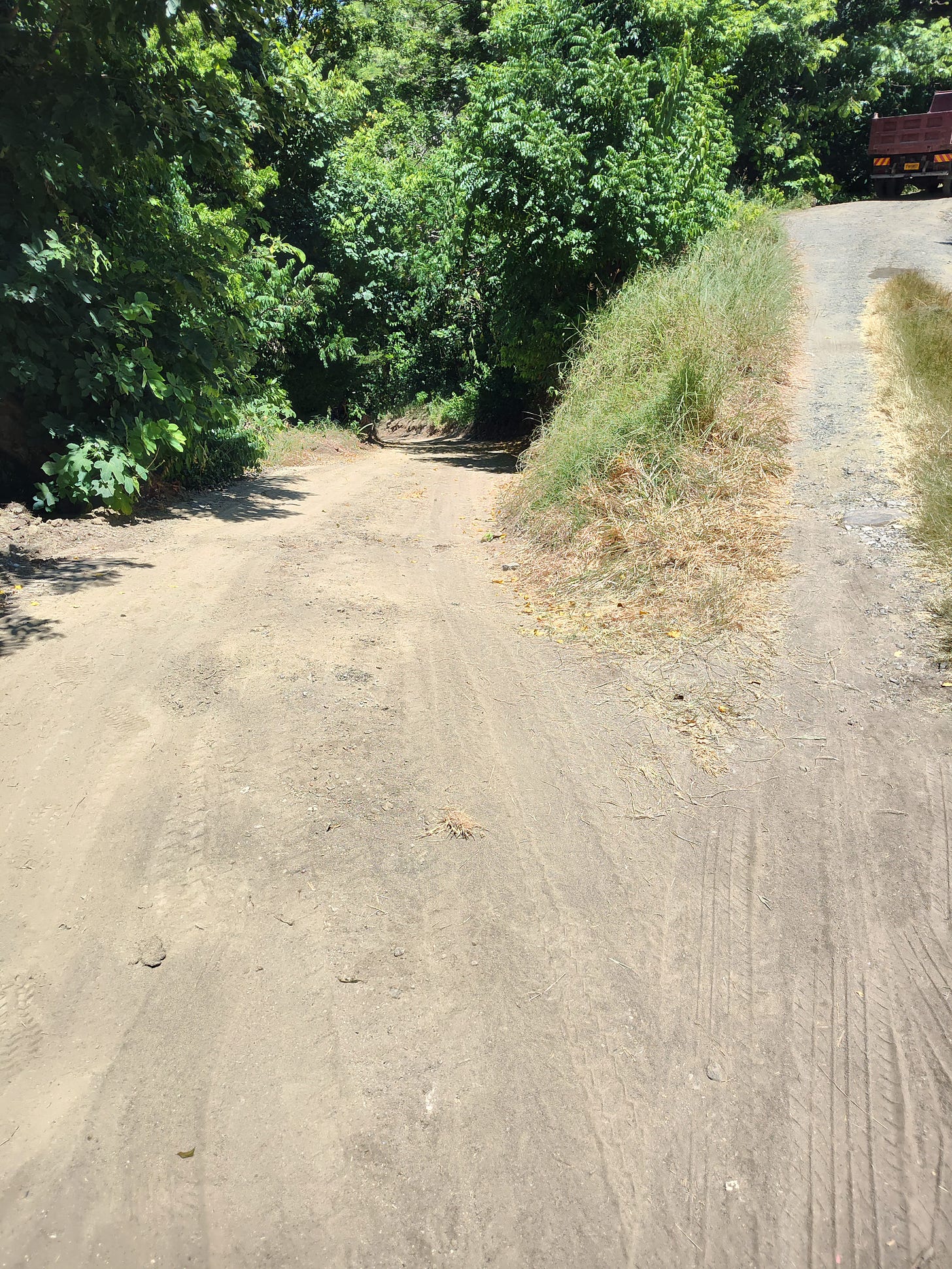
At this point I left the main Dumfries Road and took a lane that quickly curled down toward a stone well, a rare thing on the island, and next to it, up a slight rise, the remnants of a plantation graveyard, the broken and eroded stones scattered amid cactus and acacia, uncared for and abandoned.
This graveyard just kept on going, extending down towards the shore line. At certain point I realized the road had been cut through the cemetery, perhaps quite recently. Near the beach I found a pile of gravestones bulldozed together and left, highly incongrous since, only a few yards away, there were a few relatively fresh, contemporary graves. I reflected here on impermanence and our sad little human illusion about dignified burial and immemorial memorials. (My own resolve is to be cremated, ashes tossed into the air on a windy day — no one will bulldoze up my bones or build condos on top of me or resurrect me as an archaeological data point.)
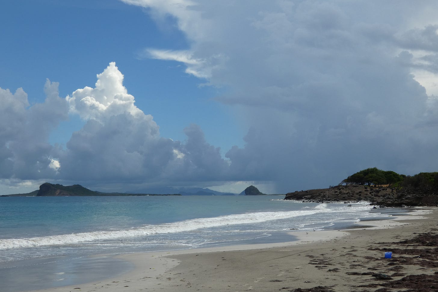
Beautiful beach, though, approached through a stretch of sparse mangrove and glutinous mud that stuck to my shoes like tar. No one on the beach but a herd of donkeys who first hid (ineffectively) behind a bush, but then ventured forth to watch me.
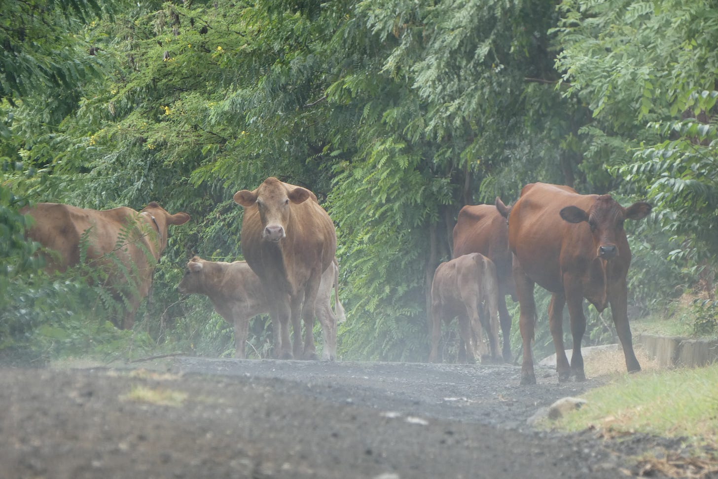
Then back to Dreddz (I can’t bear to type “Dredd’s) after encountering a cattle stampede in the lane (one poor thing decided to stumble down the bank into the woods and ended up inside the landfill fence, lowing sadly as the others walked along with me).
This time Dredd and I talked. He had a copy of Fenner’s 1784 map tacked to the front of the bar, and we got down to examine it together and exchange information, mostly trying to figure out how the old estate lines fit within the geography of contemporary Carriacou.
Dumfries was one of the few large plantations to survive as a unit well into the 20th century. Indeed it stayed in the hands of a single Scottish family until the Gairy land reforms of the 1950s. There are photos of the estate2, taken and labeled in 1910, with rows of workers seated before already ruined buildings. They are called “tenants and cottars,” old Scottish terms dating back to the land management practices in the Highlands when the lairds owned vast acreages, which they leased out cheaply to clansmen in return for military service. There was a heirarchy of tenancy beginning with tacksmen at the top, then various sub-tenantry down to cottars, the poorest people with a small, stone-walled thatched house and possibly a bit of land for a garden.
The Dumfries system of tenants and cottars seems reminiscent of that ancient Highland system. And this, in turn, was similar to metayage (a form of share-cropping) that was one of the strategies plantation owners elsewhere on Grenada used to keep their land in production after slavery. After the government takeover in the 50s, some glitch prevented the Dumfries land from being completely distributed in small parcels as had been the intention, which is why the land, at least some of it, is still publicly owned and can be turned into a landfill or fenced off to prevent the curious from poking around.
This is me on Dreddz Facebook page3 (Vermont cap, Nova Scotia shirt, very cosmopolitan).
After reviving at Dreddz, I pushed on over the spine of the island again, this time winding down the main road, Brunswick Road, to Hillsborough. Brunswick Road is named for another former plantation that used to be tucked in behind Hillsborough (see the map above). There are no ruins there. I think the town cemetery and the Anglican Church are within the old Brunswick estate boundaries.
I made it to the beach at Hillsborough in time for sunset and takeout under the avocado tree, which is also the best place to sit and sip mango juice first thing in the morning.
Spelled Tyrell or Tyrrel apparently at random.
Some copies are on display at the Carriacou Museum on Patterson Street in Hillsborough.
Andy is a great guy. Visit his page and drop into the restaurant when you’re next on Carriacou. Dreddz Empire Bar & Grill.










Love all the photographs, and especially the light in the black and white ones.
So fascinating! My great grandmother grew up in Grenada and was married there. She and my great grandfather had a shop on the island. Thanks for these wonderful accounts of your time there, Douglas!